The Canal de Berdún through the Shortest Route

Map from Jaca to Arrés. | CAMINOS PEREGRINOS

Elevation profile from Jaca to Arrés. | CAMINOS PEREGRINOS
The summits have been left behind; this way, in a favourable position over the river bed, the route goes over the Canal de Berdún, a hollow trapped between mountains. Thus, this second stage advances quickly following the course of the the River Aragón. The Way descends to the Botiguera just after the Victory Chapel, with beautiful views over the Campo de Jaca, and later it is crossed the River Gas to reach the ravine of Atarés next to a Gall oak grove. From this point the itinerary ascends to Mount Cornaraña, a viewpoint with a huge panorama. Downhill, in the plain, the route passes by the Venta de Esculabolsas, halfway point of the walk and remain more than probable of the missing pilgrims’ hospital de Annol, already quoted in 13th century.
Santa Cilia de Jaca is coming soon to offer well-deserved rest to those who want to continue. Cattle routes, tracks next to the N-240 and riverside forests are awaiting for the pilgrims in the second part of stage. Arriving at Puente la Reina de Jaca, thousands of river stones have been stacked by the walkers next to the path, creating one of the most fascinating places on the Camino de Santiago in Aragón. In the former royal seat of Astorito, there is a fork in the road: the north route towards Berdún and the south, to Arrés and Artieda, much more frequented today. Arrés and its hospitable albergue are located on Mount Samitier, a noteworthy obstacle at the end of the stage.
Route
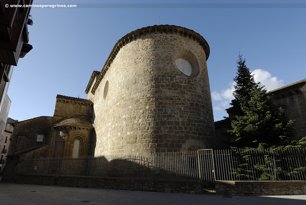
From the albergue de peregrinos, we go on the right by the narrow calle Conde Aznar to join the calle Mayor, a commercial artery that was adapted to the new design adopted by the city in 1915, after the demolition of the city walls. We follow it to the right until the Renaissance City Hall, where we turn on the left to take the calle Ramón y Cajal. We pass by at the foot of Torre del Reloj, also known as the Prison, and we continue straight on calle Ferrenal, which takes the name of Ferraginal del Rey, a pasture land occupied by herds and royal horses. We approach to the Romanesque Church of Santiago. As soon as we pass by the temple we turn right on calle del Coso, which we cross from end to end until leading into avenida del Regimiento de Galicia, which we take towards the left. After leaving behind the petrol station, we advance following the direction to Pamplona, next to the N-240, going across the avenida de Nuestra Señora de la Victoria. A few meters later we progress along a parallel street, with good views of Mount Oroel (1770 m), beside the meadow of the River Gas. At the end of the Camino de Santiago walk, where the Reina Felicia Hotel and a residential area are located, we turn right and recover the direction at the feet of an industrial area that takes us to Ermita de la Victoria (Victory Chapel), restored in 1816 after the damages caused in the Peninsular War.
Ermita de la Victoria
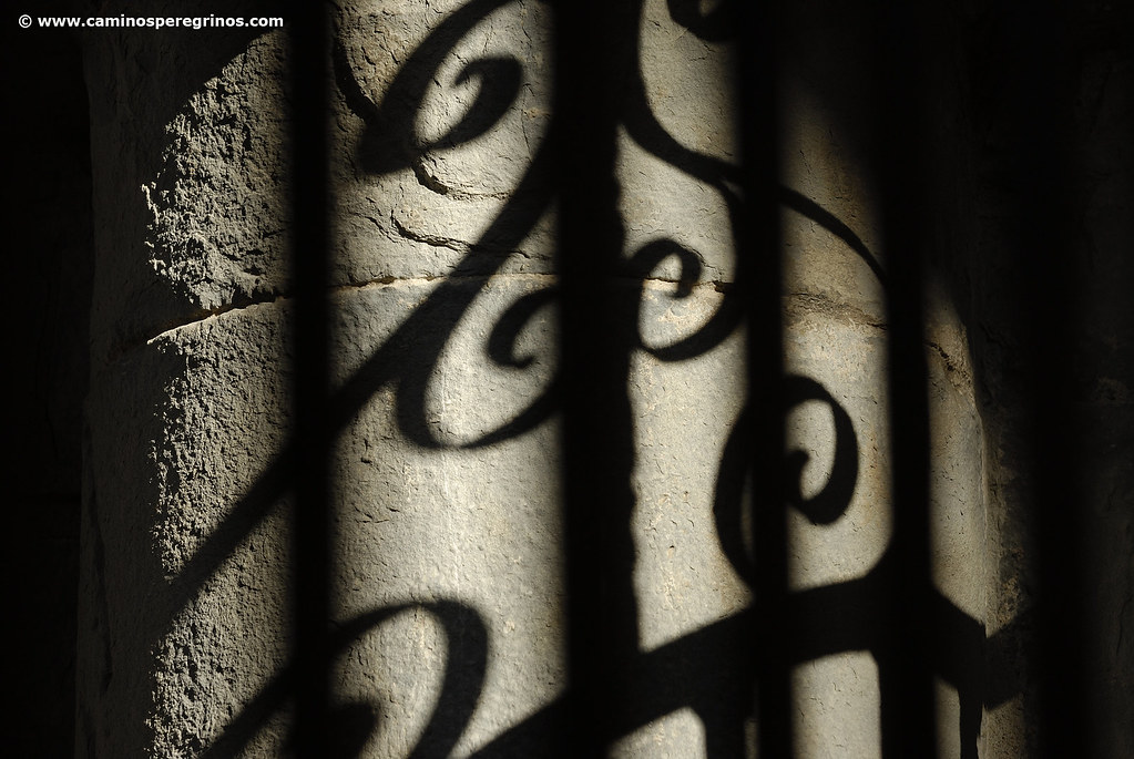
(22.6 km. left)We cross the N-240 and move forward 300 meters along the right shoulder, extended by a narrow gravel lane. We leave the road and go down on a broader path that gives us a splendid panorama over the opposite bank of the River Aragón, where several villages, such as Abay, Guasillo and Banagüás, settle between cereal fields and small hills, called here Coronas. After 1,7 kilometers from the road, we arrive at the group of houses of La Botiguera, where we turn left 90º to take the N-240 and approach the River Gas (km. 5.2). We cross it and avoid exposing ourselves to the traffic, walking beside an industrial unit, passing meters later at the foot of the Casa del Municionero. We traverse the road and continue along a parallel path that moves forward under a line of black poplars, next to some dependencies that are part of the Campamento Militar de las Batiellas (Batiellas military camp). Almost two kilometers later the path converges on the road, which we cross again to take another path that leads us in 500 meters to the barranco de Atarés (ravine), which we cross easily using a footbridge.

The path crosses over the barranco de Atarés. | CAMINOS PEREGRINOS
Barranco de Atarés
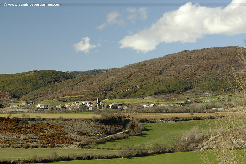
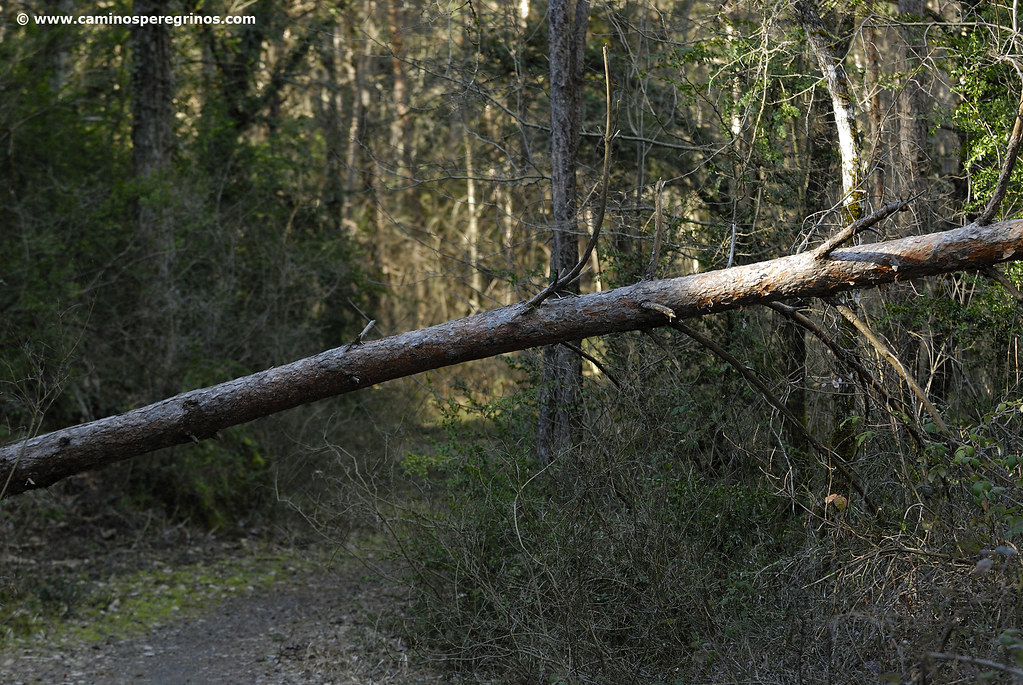
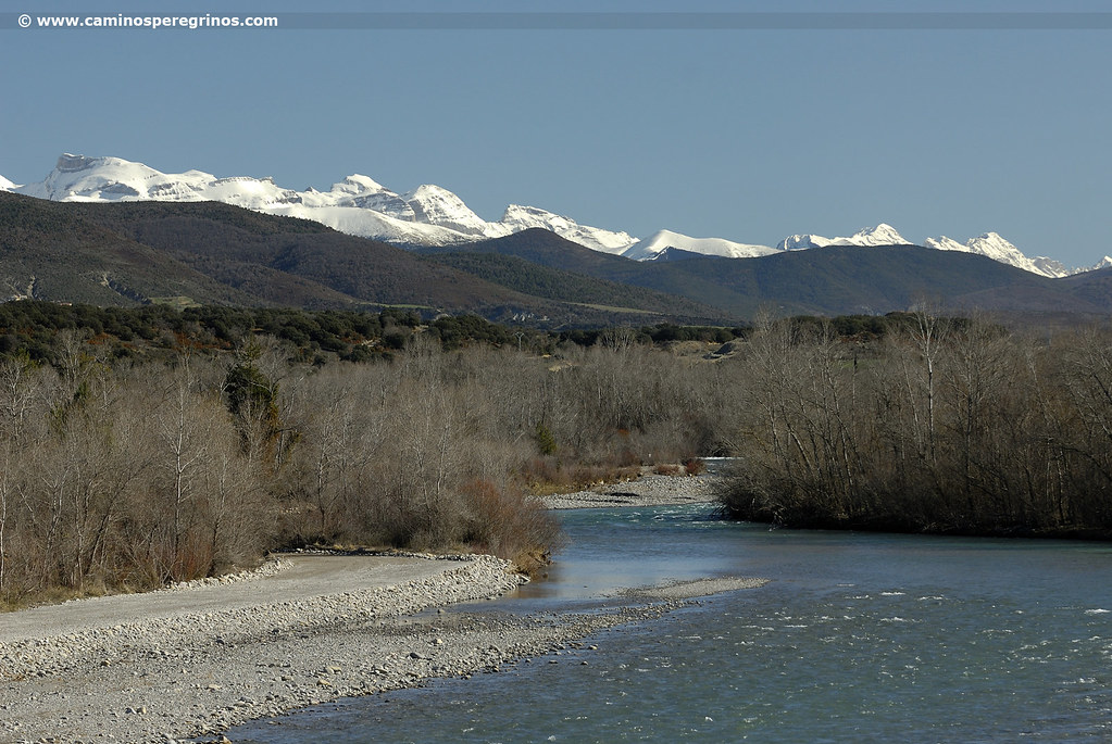
(17.5 km. left)Going down the Atarés road, we continue by the Mount Boalar, woody mass of pines, holm oaks and gall oaks that form part of the protected landscape of San Juan de la Peña and Monte Oroel. While we walk, we spot on the other side of the N-240 the Instituto de Formación Agroambiental. We advance for a kilometer and a half and we cross a more rough outline over the barranco de Mosqueruela (km. 9.7), already on the lower slopes of Mount Cornaraña. The slides give way to a more clear climb on stone path up to a lookout; this spot looks down on like no other the Canal de Berdún, a natural balcony above this orographical hollow lying down between the inland and outland ranges of the Pyrenees and traversed from east to west by the River Aragón.
Canal de Berdún viewpoint
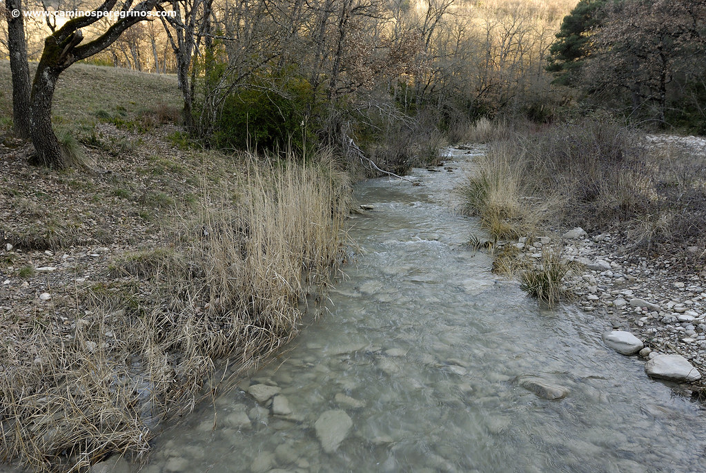
(14.1 km. left)We descend next to the N-240 road and connect with another track that advances above the road, crossing 400 meters later the barranco de Santa Cruz (km. 12.1), which pass behind of the Venta de Esculabolsas (Esculabolsas Inn) – the former pilgrims’ hospital of Annol already mentioned in 1200 – and the Aragón Hotel, where we can take a break and recover strength. Then, along a path that pops up between the cereal fields, we cross the road that goes to Santa Cruz de la Serós and San Juan de la Peña. This monastery is sheltered in a landscape of great beauty and make a show of a Romanesque cloister, whose capitals show the recognizable figures sculpted during the Middle Ages by Maestro de Agüero. The monastery was reestablish in the 11
We continue for about a hundred meters along a paved track, followed by a cabañera (cattle route). Then we meet at Binacua road (km. 13.9), which we go across for 200 meters. We leave it when arriving at a bend, noticing the stony path that comes from the left shoulder, where the Catalán through San Juan de la Peña Way links with this Aragonese Way. A few meters away from Casa Antón, we cross the ravine of Fuente de Biescas and turn right, passing by Casa Jacinta and some farms, which lead us to the N-240. We finish crossing it to enter Santa Cilia de Jaca. We meet at a roundabout and we walk straightforward to go towards the village center, where there is a likeable sculpture of Saint James in pilgrim dress. Those who want to finish the stage here will find marks to get closer to the pilgrims´ hostel, located on calle del Sol. We should take the opportunity to visit the Bartolomé Bakery on calle Mayor. His owner Tino bakes delicious loafs of bread.

Church of San Salvador at dusk. |CAMINOS PEREGRINOS
We say goodbye to Santa Cilia on calle Camino de Santiago, arriving at the bottom of barranco de la Virgen, which we cross to take a cabañera that goes through the places of El Plano and La Tejería. After 1,5 kilometers we go on in a simple track that advances one to one with the N-240; and a bit more than a kilometer it disappears and merges with the N-240, which we cross to link with another track that brings us to Casa Rural Regodiso. After it we turn right and we progress through a small path between trees, appearing again on the road next to the marker post km. 300, where we cross the barranco de San Salvador. Just after we move on the right shoulder for about 80 meters and we turn right to take a new path. So we approach the River Aragón and at the back of the Camping Pirineos.
Camping Pirineos
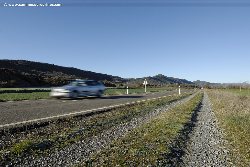
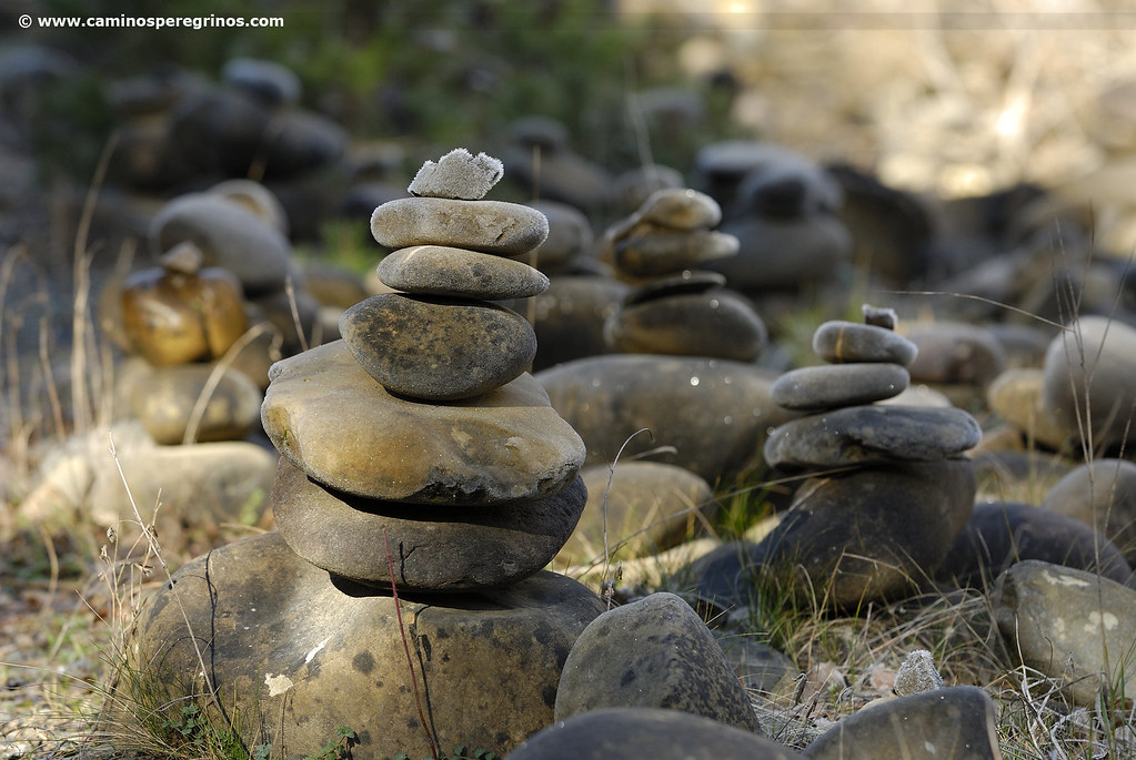
(6.4 km. left)We move forward to a bridge and turn left, ending at the N-240 next to the pardina of Cascallo. With no other alternatives than the track on the narrow shoulder, we restart the passage for 1.3 kilometers. After the marker post km. 302, a Jacobean milestone invites to leave the road and take a path that descends by a few steps to a mixed forest, where suddenly we bump into hundreds of river stones crowded on both sides of the Camino, as an outdoor exhibition. The origin of this practice goes back to the earliest civilizations and serve to point out a specific place or to guide the coming traveler. We ended up getting on the road to arrive to Puente la Reina de Jaca, although to follow Arrés it is not necessary to cross the bridge. In this village, former royal seat known as Astorito, the River Subordán Aragón flows into the River Aragón and the Way of Saint James forks in two branches: the north route through Berdún and Sigüés and the south route through Arrés and Artieda, the most used today.
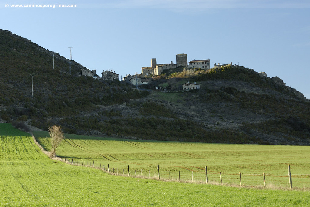
Without crossing the bridge, we follow a short stretch of the A-132 road that leads to Huesca and then we take the local road that goes to Arrés. Soon we cross a ravine and we see the indicator to Arrés (km. 22,6). Listen up! The one who does not go to spend the night in Arrés does not need to go up and can continue straight on the road! The ascent extends for almost three kilometers and goes over the slope of Mount Samitier, with pine trees and plenty of brushwood. The first kilometer is the one that demands a greater effort, since it exceeds quickly more than 70 meters of gradient. From there the section is easier, descending even as we approach the village. Arrés is famous for its albergue de peregrinos, inaugurated in the 1990s and managed by hospitaleros voluntarios that offer priceless hospitality. In addition, its location is enviable and provides a breathtaking view of the Pyrenees and the Canal de Berdún.
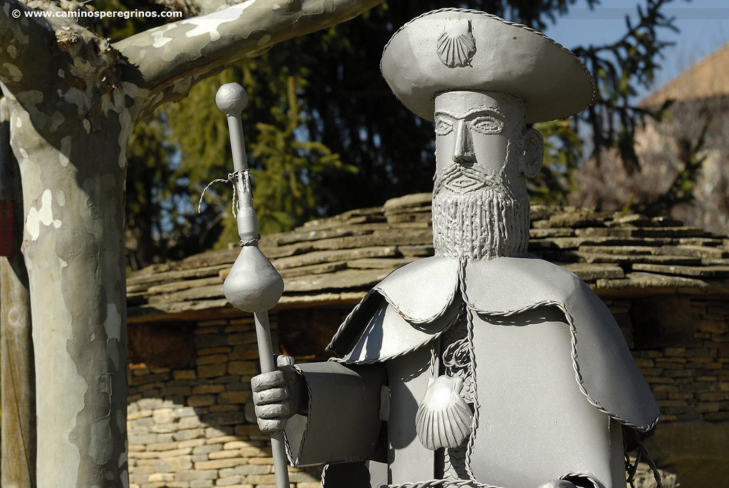
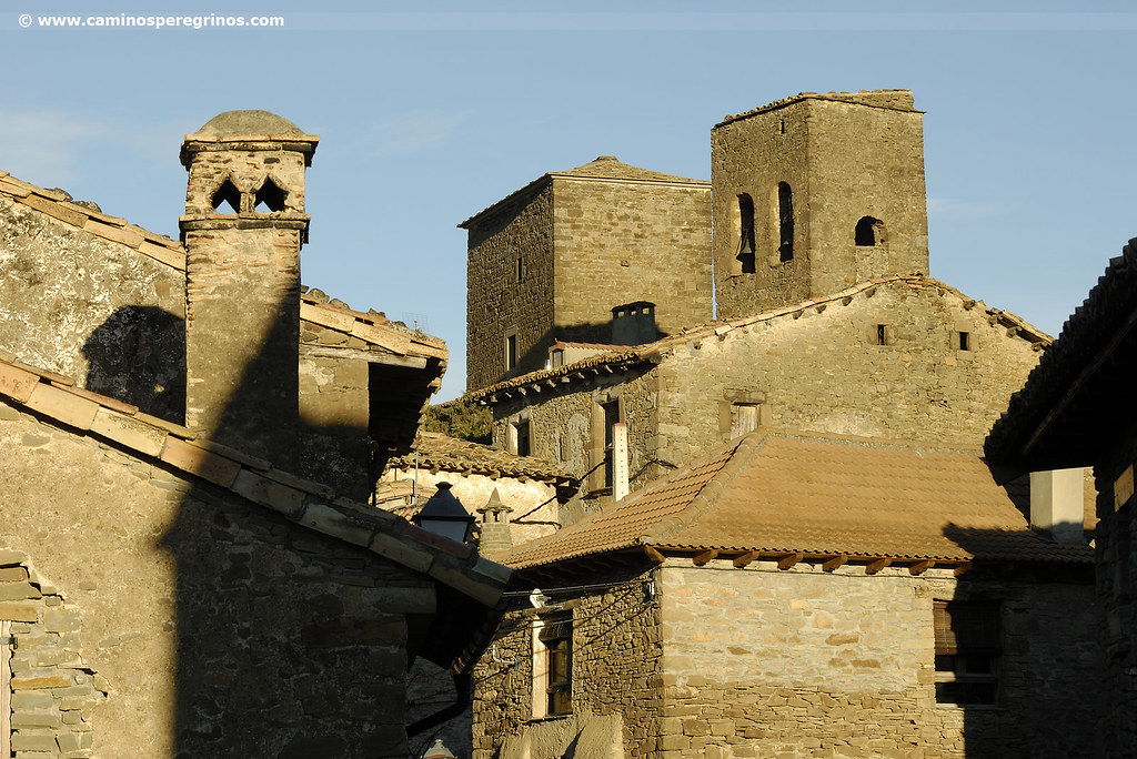
Arrés from a pilgrim`s eye view
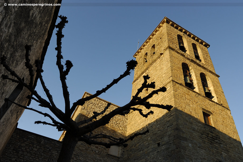
Arrés, lied down on Mount Samitier, is famous for its albergue de peregrinos, opened in the 90’s and managed since 2001 by hospitaleros voluntarios of the Federación Española de Amigos del Camino de Santiago. Strolling through this town, of medieval appearance and in perfect symbiosis with the hill where it settles, gives more than a surprise. It will be difficult not to notice the late-medieval tower of the 15th century that brings to memory the old castle. The fortress has arrow-holes and was arranged in three floors. Along with the hospitaleros on duty, it is usually to visit the chuch of Santa Águeda (16th century) that has an atrium with arcades and inside murals that bring colour and provide warmth.
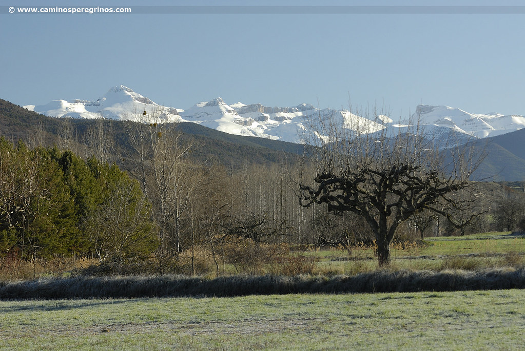
Thanks to its privileged location, Arrés offers a spectacular panoramic view of the River Aragón Valley and the Pyrenees. Lying on the promontory located at one end of the village, we can distinguish from west to east Mount Ezkaurre (2045 m), the Alanos mountain range and more to the west Mount Bisaurín (2670 m.). From the same place we can watch a spectacular sunset over the Canal de Berdún, which will seduce us tomorrow during the stage by its silence and its beautiful sobriety. Behind us, towards the southeast, old farmyards are mixed with the crops. Places such as La Plana, La Nava and La Corona are merged into the San Juan de la Peña mountain range, protected landscape since 2007 with an area of 9514 ha.
Gastronomy and food in Arrés
A simple communal dinner in the hostel, made of pasta, salad and wine, in good company and pleasant conversation, can fill the culinary desires of almost any pilgrim. In addition to the hostel, Arrés has the Inn El Granero del Conde, where its owners cook homemade menus for the pilgrims. It is possible to taste lamb (typical dish of the area), and migas on demand . They also make homemade desserts: rice pudding and panchineta, a kind of pastry and almond cake.